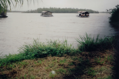
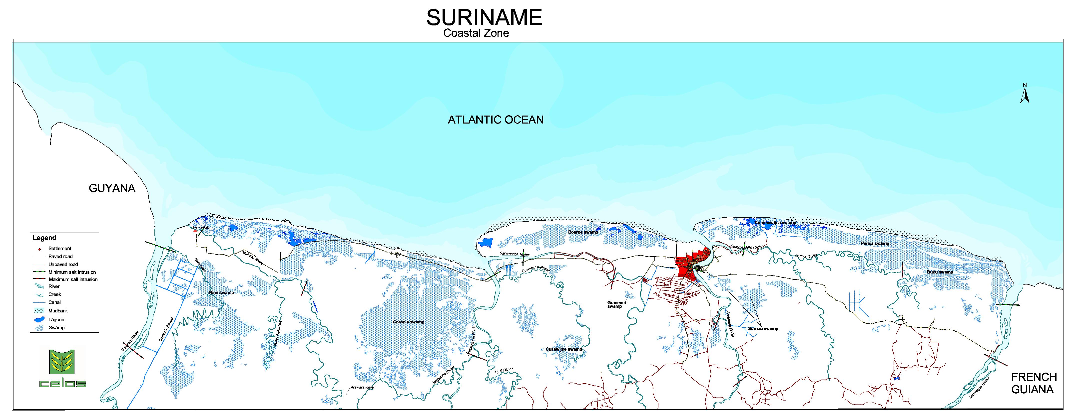
The coastal area of Suriname, in particular the young Coastal plain, is very low and flat with elevations of between the 0-10m. The “coastal belt” is about 5 km wide in the east and about 50 km wide in the west. Swamps cover about 60 percent of the coastal plain. In many areas, water is fresh during the wet seasons from precipitation falling directly on the swamps. During dry seasons, the swamps revert to brackish conditions. The map below shows the locations of the swamps/lakes in the coastal area of Suriname.

Reservoirs/lakes/wetlands
The four largest swamps are the:
- Nani swamp
- Coronie swamp
- Coesewijne swamp
- Surnau swamp
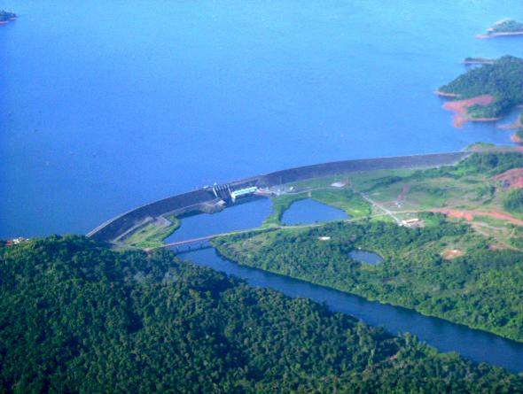
The Nanni swamp supplies irrigation water for about 18,000 ha of agricultural lands, mostly for the rice culture. The total area of the swamp is about 1,550 km2. The only source of water available for the swamp is the rainfall and the inflow from the Zanderij formation and the Old coastal plain. A water balance shows that in a year with average rainfall the discharge is 12.5 m3/s. In an extreme wet year discharge increases to 16.8 m3/s., and in an extreme dry year the discharge falls up to 9.5 m3/s. The total area of the Coronie swamp is about 70,000 ha. The area of the Coesewijne swamp depends on its water level. During the rainy season it may extend over 800-900 km2. The man-made lake, the Prof. Dr. Ir. Van Blommenstein reservoir, is the largest artificial open freshwater resource in Suriname. It is located in the Suriname river at Afobaka, 194 km upriver. It covers an area of 1,560 km2. The purpose of this reservoir is to provide electricity for the aluminum smelter at Paranam (operational in 1964). Controlled discharge at Brokopondo provides a mean yearly flow of approximately 250 m3/s.
CONTACT
SWRIS
The SWRIS was created by the Anton de Kom University of Suriname (SMNR programme) with the support of UNDP, WWF and government authorities and is a voluntary effort on the part of the partners.
SWRIS-Secretariat
Address:
Anton de Kom University of Suriname
Leysweg, POB 9212,
Paramaribo, Suriname
Department of infrastructure
Building 16, Room 56
General phone:
+597-465558 ext 2355, 2357
APP/SMS/MOB:
+597-(0)-8500283
Email:
msc-smnr@uvs.edu
We are on social media


Copyright 2018 SWRIS | All Rights Reserved
Webdesign and development by Bit Dynamics


